
01
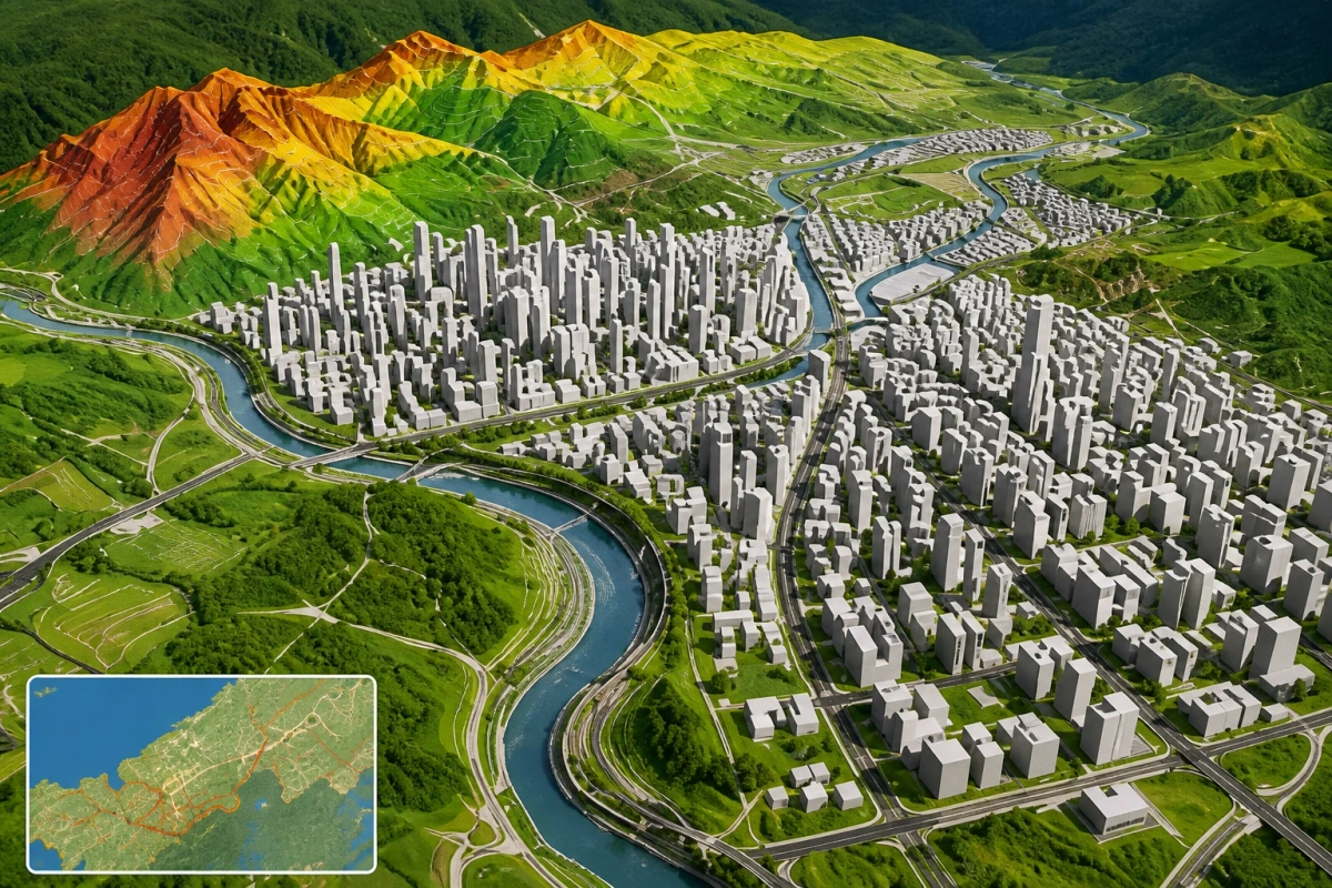
Cartography and visualisation
Clear, purpose-built maps that turn spatial information into a format people can read, present and use.
Geospatial intelligence / South Africa
Asakhe Geospatial Solutions turns location, imagery and environmental data into maps and spatial insight that support clearer planning and land decisions.
01 / What we make visible
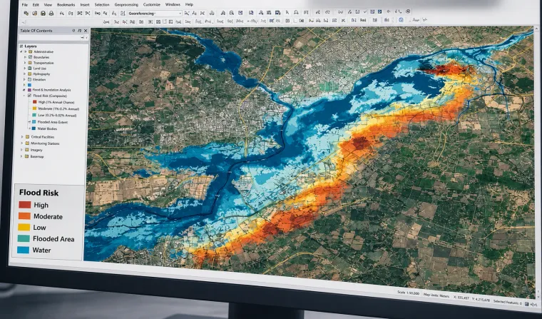
We bring mapping, imagery analysis and GIS modelling together to make complex places easier to understand.
Our capability spans land, agriculture, environmental risk, infrastructure planning and spatial data management.
Selected capabilities
Clear, purpose-built maps that turn spatial information into a format people can read, present and use.
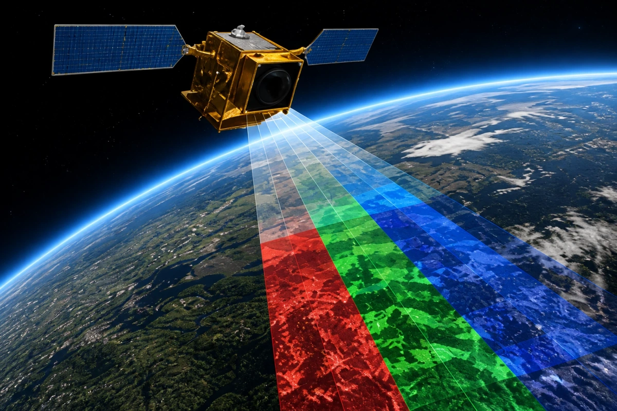
Satellite and aerial imagery interpreted to reveal patterns, conditions and change across large areas.
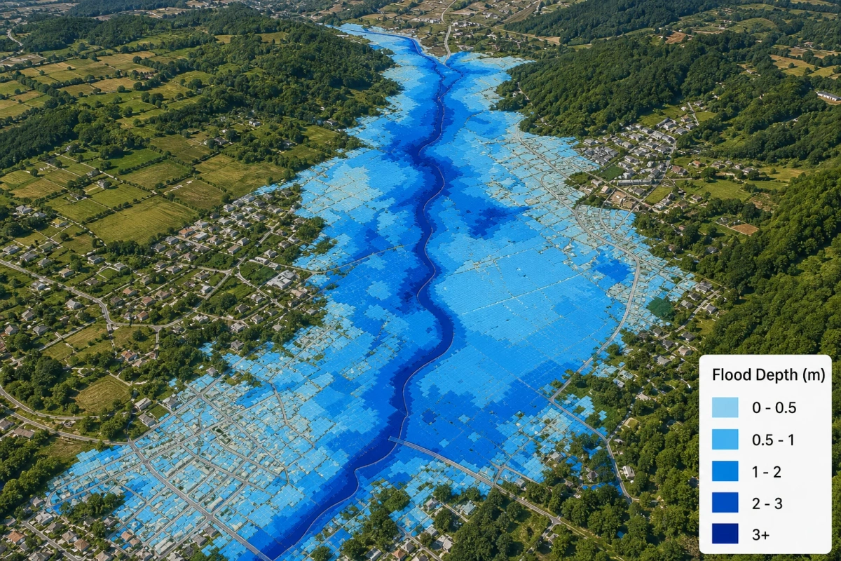
Location-based risk views that support planning around water extremes and exposed areas.
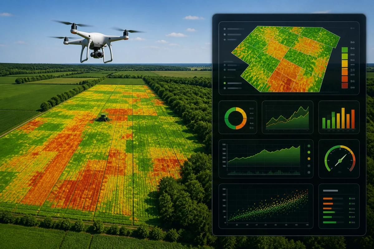
Imagery-led monitoring of vegetation health, condition and yield indicators over time.
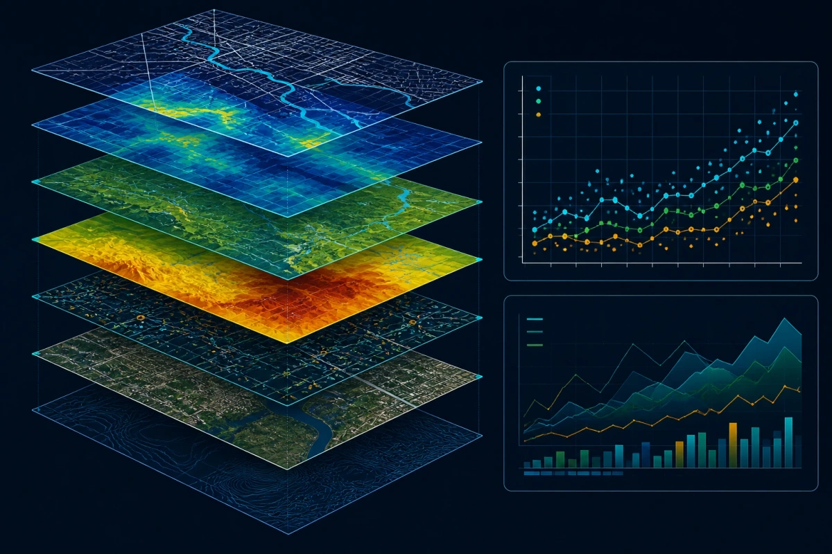
Layered spatial analysis used to explore relationships, test scenarios and communicate findings.
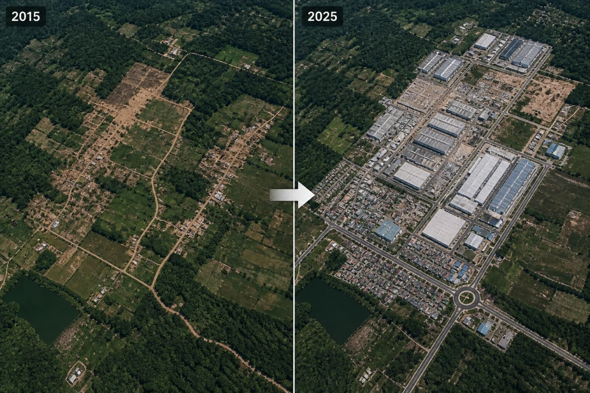
Time-based comparison of imagery to identify and communicate visible changes in land use.
About Asakhe Geospatial Solutions
Asakhe Geospatial Solutions is a South African company providing mapping, remote sensing, spatial analysis and land intelligence services. We help turn the detail inside geographic data into information that can be understood and applied.
Discuss a mapping, monitoring or spatial analysis requirement with Asakhe Geospatial Solutions.
CompanyAsakhe Geospatial Solutions (Pty) Ltd
Office20 Skalie Street, West Acres, Nelspruit, Mpumalanga, 1200